Space Based Surveillance Reshapes Red Sea Risk
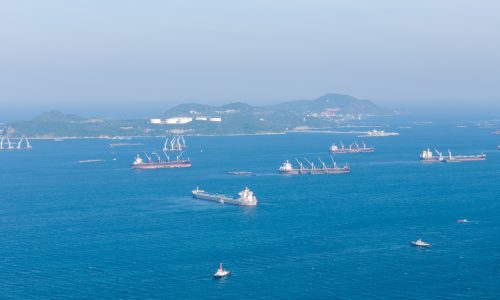
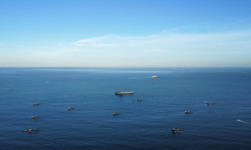
Chinese and Russian satellite intelligence is strengthening Iran’s ability to support allied forces near vital shipping corridors. This development carries direct implications for maritime security in the Red Sea and Gulf of Aden.
Iran’s Islamic Revolutionary Guard Corps has acted as the central conduit for imagery and signals data. The information has supported Iran aligned groups operating near commercial sea lanes. In addition, these groups combine satellite feeds with coastal radar, local observers and fishing vessel reports. As a result, they build a layered maritime surveillance picture.
Russian Backed Reconnaissance Capability
A key element is the Khayyam reconnaissance satellite program. Russia supported its development and linked it to the Kanopus V earth observation platform. These low earth orbit satellites provide sub metre resolution imagery. They can also revisit target areas several times per day.
While analysts do not rank this constellation among the most advanced systems, it remains effective. It can identify static infrastructure and surface vessels. However, dynamic maritime targeting requires additional inputs. Therefore, operators must integrate satellite data with radar tracking and on scene intelligence.
This cooperation reflects deeper military and technical ties between Tehran and Moscow. Moreover, it shows how space based assets now shape regional maritime security assessments.
Chinese High Resolution Satellite Support
China’s Jilin satellite network has also supplied high resolution optical, hyperspectral and video imagery. These platforms offer resolution close to half a metre. Consequently, they enable precise geolocation and movement analysis across coastal and offshore zones.
Reports have also noted interceptions of Chinese communications equipment intended for Iran linked forces. Meanwhile, Shanghai based entities have circulated annotated satellite imagery as open source intelligence. Even so, analysts view some of these releases as aligned with state interests.
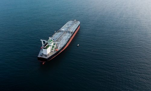
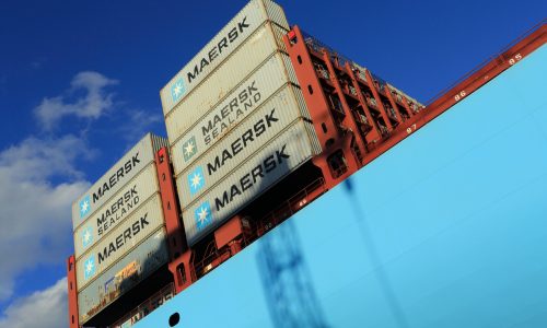
Impact on Global Shipping and Marine Insurance
For shipowners and operators, the implications are clear. Enhanced surveillance increases the ability of hostile actors to monitor vessel traffic patterns. In turn, that raises risk exposure for commercial shipping in high tension regions.
Marine insurers and charterers must now factor advanced satellite intelligence into voyage planning and risk modeling. As satellite coverage expands, space based maritime domain awareness will play a larger role in global shipping security calculations.